FS · Medicine Bow-Routt NFs & Thunder Basin NG
Spruce Mtn Fire Lookout Tower
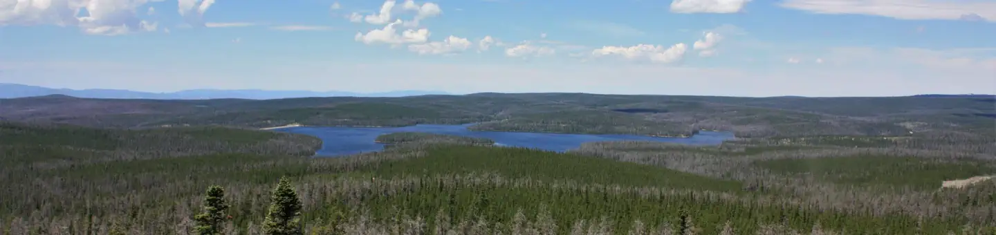
1 of 1 sites fit 32 ft
Book 001
- Longest for your rig
- 60 ft
- Booking
- Reservable
- Hookups
- none
- Entry
- Back-in only
- ADA sites
- —
- Elevation
- 9,986 ft
- Vehicles
- up to 4
- Season
- June – September
The lookout is typically open from June through September.
quoted from the description Recreation.gov publishes for this facility
At 9,986 ft, expect nights below freezing well into June, water systems shut off outside a short summer window, and a long climb to get here. The season above is what the agency publishes; snow can move it.
Book on Recreation.gov →the official reservation system; we take no cut
Getting there
What the agency says about the road in. For a long rig this is often the binding constraint — a site that fits is no use behind four miles of shelf road — and none of it appears in the campsite data.
- High clearance or 4WD advised
Moderate to High clearance vehicles are recommended for accessing the Tower.
quoted from the driving directions
Every bookable site
Fits your 32 ft rig — 1 site
Within 60 miles
| Map marker# | Campground | Distance | Sites | Longest for your rig | Hookups |
|---|---|---|---|---|---|
| 1 | Keystone Ranger Station | 3 mi SW | 1 | — | none |
| 2 | Silver Lake Campground (WY) | 11 mi NW | 17 | 99 ft | none · pull-through |
| 3 | North Fork (WY) | 11 mi N | 60 | 57 ft | none |
| 4 | Sugarloaf Campground (WY) | 11 mi N | 15 | 53 ft | none · pull-through |
| 5 | Little Brooklyn Lake Guard | 11 mi N | 1 | 60 ft | none |
| 6 | Brooklyn Lake Campground | 12 mi N | 18 | 71 ft | none · pull-through |
Everything else on record
- Bookable sites
- 1
- Max occupancy per site
- 2
- Reservable sites
- 1
- Coordinates
- 41.2031, -106.2167
- Nearest place
- LARAMIE
- Phone
- 307-745-2300
- Elevation
- 9,986 ft
Sources
- Recreation Information Database (RIDB) · fetched from
https://ridb.recreation.gov/api/v1/facilities/233989· retrieved 2026-08-17 · public-domain - USGS Elevation Point Query Service · fetched from
https://epqs.nationalmap.gov/v1/json· retrieved 2026-08-17 · public-domain