FS · Medicine Bow-Routt NFs & Thunder Basin NG
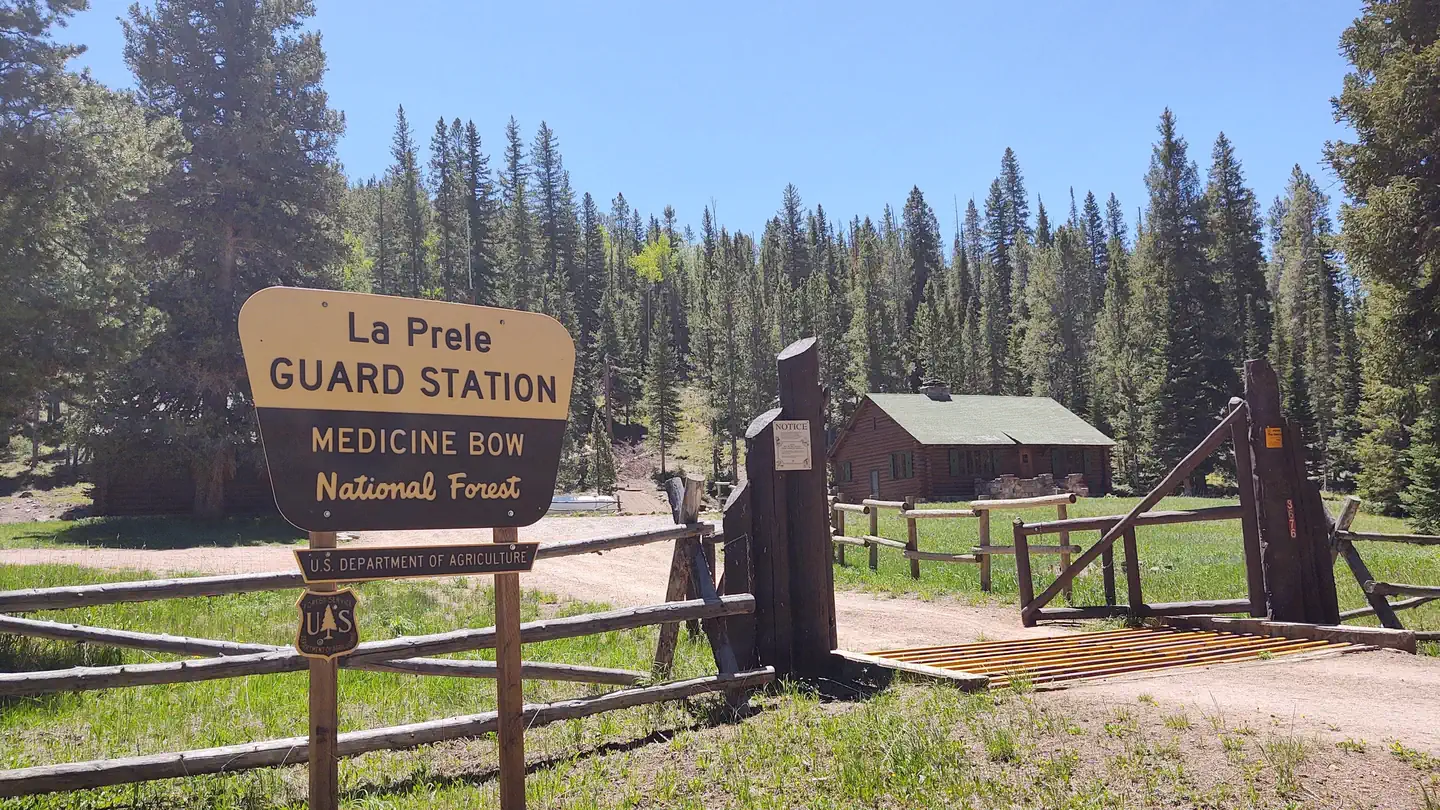
La Prele Guard Station
Nothing here fits 30 ft of 1 sites
- Longest for your rig
- 20 ft
- Booking
- Reservable
- Hookups
- water
- Entry
- Pull-through
- ADA sites
- —
- Elevation
- 8,004 ft
- Vehicles
- up to 4
- Season
- early-June – late-October
The guard station is open from late May or early June through late October each year and is accessible by car except after snow events at the beginning and end of the season.
quoted from the description Recreation.gov publishes for this facility
At 8,004 ft, expect nights below freezing well into June, water systems shut off outside a short summer window, and a long climb to get here. The season above is what the agency publishes; snow can move it.
Book on Recreation.gov →the official reservation system; we take no cut
Every bookable site
Too short for 30 ft — 1 site
Within 60 miles
| Map marker# | Campground | Distance | Sites | Longest for your rig | Hookups |
|---|---|---|---|---|---|
| 1 | Campbell Creek Campground | 0 mi NW | 6 | 56 ft | none · pull-through |
| 2 | Curtis Gulch Campground | 11 mi E | 6 | 55 ft | none · pull-through |
| 3 | Friend Park Campground | 22 mi SE | 11 | 30 ft | none · pull-through |
| 4 | Esterbrook Campground | 26 mi E | 12 | 99 ft | none |
Everything else on record
- Bookable sites
- 1
- Max occupancy per site
- 6
- Reservable sites
- 1
- Coordinates
- 42.4528, -105.8339
- Nearest place
- DOUGLAS
- Phone
- 307-358-4690
- Elevation
- 8,004 ft
Sources
- Recreation Information Database (RIDB) · fetched from
https://ridb.recreation.gov/api/v1/facilities/233942· retrieved 2026-08-11 · public-domain - USGS Elevation Point Query Service · fetched from
https://epqs.nationalmap.gov/v1/json· retrieved 2026-08-11 · public-domain