BLM · Moab Field Office (BLM)
Lower Onion Creek Group Sites
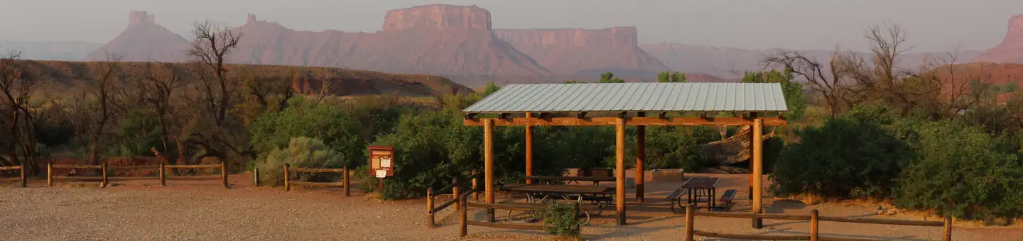
1 of 4 sites fit 32 ft
Book Group B
- Longest for your rig
- 40 ft
- Booking
- Reservable
- Hookups
- none
- Entry
- Back-in only
- ADA sites
- —
- Elevation
- 4,099 ft
- Vehicles
- up to 10
Book on Recreation.gov →the official reservation system; we take no cut
Getting there
What the agency says about the road in. For a long rig this is often the binding constraint — a site that fits is no use behind four miles of shelf road — and none of it appears in the campsite data.
- High clearance or 4WD advised
Within close proximity to national parks and open space, outdoor enthusiasts will enjoy hiking, mountain biking, whitewater rafting and four-wheel drive tours in the surrounding area.
quoted from the description - Unpaved approach
Drive 22 miles on Highway 128 to the entrance to Lower Onion Creek campground, then 1.5 miles north on the gravel road.
quoted from the driving directions
Every bookable site
Fits your 32 ft rig — 1 site
Too short for 32 ft — 3 sites
Within 60 miles
| Map marker# | Campground | Distance | Sites | Longest for your rig | Hookups |
|---|---|---|---|---|---|
| 1 | Upper Onion Creek Group Site | 0 mi N | 2 | 20 ft | none · pull-through |
| 2 | Hittle Bottom Group Site | 2 mi NE | 1 | 40 ft | none |
| 3 | Dewey Bridge Group Sites | 6 mi NE | 3 | 50 ft | none · pull-through |
| 4 | Big Bend Group Sites | 9 mi SW | 3 | 20 ft | none · pull-through |
| 5 | Devils Garden Campground | 13 mi W | 51 | 40 ft | none · pull-through |
| 6 | Goose Island Group Sites | 14 mi SW | 2 | 30 ft | none · pull-through |
Everything else on record
- Bookable sites
- 4
- Longest driveway
- 20 ft
- Max occupancy per site
- 30
- Reservable sites
- 4
- Coordinates
- 38.7383, -109.3518
- Nearest place
- Moab
- Phone
- (435)259-2100
- Elevation
- 4,099 ft
Sources
- Recreation Information Database (RIDB) · fetched from
https://ridb.recreation.gov/api/v1/facilities/255118· retrieved 2026-08-11 · public-domain - USGS Elevation Point Query Service · fetched from
https://epqs.nationalmap.gov/v1/json· retrieved 2026-08-11 · public-domain