BLM · Bureau of Land Management
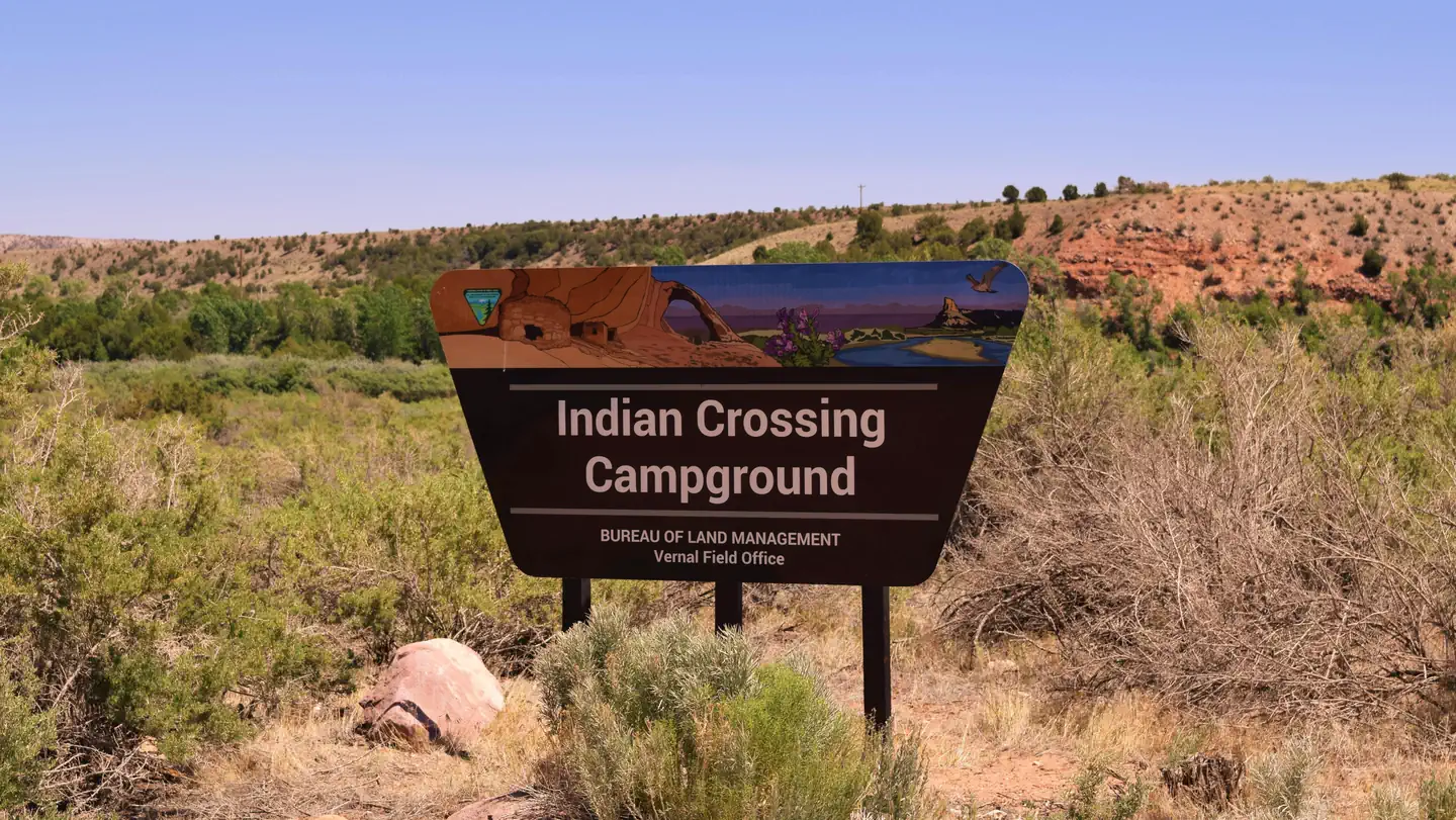
Indian Crossing Campground
13 of 21 sites fit 22 ft
Book one of 21, 17, 20, 7, 15, 11 and 7 more
- Longest for your rig
- 52 ft
- Booking
- Reservable
- Hookups
- none
- Entry
- Pull-through
- ADA sites
- —
- Elevation
- 5,485 ft
- Vehicles
- up to 10
Book on Recreation.gov →the official reservation system; we take no cut
Getting there
What the agency says about the road in. For a long rig this is often the binding constraint — a site that fits is no use behind four miles of shelf road — and none of it appears in the campsite data.
- Rigs not recommended on this road
Address: Browns Park Rd, Dutch John, UT 84023 From Vernal, UT (via Clay Basin) North 55 miles on Highway 191 (just over Wyoming border) East 22 miles on gravel/paved road, including 2 miles at a 17% grade Follow Jarvie Ranch/Browns Park signs From Vernal, UT (via Crouse Canyon) **Not recommended for RV travel.
quoted from the driving directions - Narrow or single-lane road
Extremely narrow road.
quoted from the driving directions - Unpaved approach
North on Vernal Ave to 500 N East 25 miles to Diamond Mtn and Browns Park turnoff North 16 miles on a dirt road to Browns Park Follow Jarvie Ranch/Browns Park signs From Maybell, CO East on Highway 318 - 70 miles of paved and 8 miles of gravel road Follow Jarvie Ranch/Browns Park signs
quoted from the driving directions
Every bookable site
Fits your 22 ft rig — 13 sites
2152 ft driveway · gravel · 31 ft wide · 3 vehicles1747 ft driveway · pull · gravel · 24 ft wide · 3 vehicles2047 ft driveway · gravel · 32 ft wide · 3 vehicles746 ft driveway · gravel · 33 ft wide · 3 vehicles1543 ft driveway · gravel · 33 ft wide · 3 vehicles1142 ft driveway · gravel · 31 ft wide · 3 vehicles1442 ft driveway · gravel · 34 ft wide · 3 vehicles1239 ft driveway · gravel · 35 ft wide · 3 vehicles438 ft driveway · gravel · 31 ft wide · 3 vehicles1037 ft driveway · gravel · 30 ft wide · 3 vehicles136 ft driveway · gravel · 30 ft wide · 3 vehicles1636 ft driveway · gravel · 24 ft wide · 3 vehicles636 ft driveway · gravel · 33 ft wide · 3 vehicles
Length never published — 8 sites
13no length given · gravel · 34 ft wide · 3 vehicles18no length given · gravel · 32 ft wide · 3 vehicles19no length given · gravel · 35 ft wide · 3 vehicles2no length given · gravel · 33 ft wide · 3 vehicles3no length given · gravel · 31 ft wide · 3 vehicles5no length given · gravel · 31 ft wide · 3 vehicles8, Group Sino length given · gravel · 120 ft wide · 10 vehicles9no length given · gravel · 31 ft wide · 3 vehicles
Within 60 miles
| Map marker# | Campground | Distance | Sites | Longest for your rig | Hookups |
|---|---|---|---|---|---|
| 1 | Bridge Hollow Campground | 1 mi E | 11 | 72 ft | none |
| 2 | Green River Float-In Campsites | 7 mi W | 17 | — | none |
| 3 | Dripping Springs Campground (UT) | 9 mi W | 26 | 95 ft | none · pull-through |
| 4 | Arch Dam Campground | 12 mi W | 3 | 35 ft | none |
| 5 | Dutch John Draw Campground | 13 mi W | 1 | 35 ft | none · pull-through |
| 6 | Mustang Ridge Campground | 13 mi W | 69 | 80 ft | none · pull-through |
Everything else on record
- Bookable sites
- 21
- Non-site records excluded
- 1
- Longest driveway
- 72 ft
- Max occupancy per site
- 30
- Reservable sites
- 0
- Coordinates
- 40.8988, -109.1834
- Nearest place
- Vernal
- Phone
- 435-781-4400
- Elevation
- 5,485 ft
Sources
- Recreation Information Database (RIDB) · fetched from
https://ridb.recreation.gov/api/v1/facilities/202192· retrieved 2026-08-17 · public-domain - USGS Elevation Point Query Service · fetched from
https://epqs.nationalmap.gov/v1/json· retrieved 2026-08-17 · public-domain