USACE · Center Hill Lake
Center Hill Lake Primitive Camping Areas
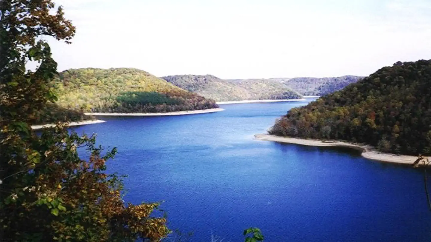
No lengths published for any site here
- Longest for your rig
- —
- Booking
- Reservable
- Hookups
- water
- Entry
- Back-in only
- ADA sites
- —
- Elevation
- 543 ft
- Vehicles
- up to 5
Book on Recreation.gov →the official reservation system; we take no cut
Every bookable site
Tents only — no rig permitted here — 18 sites
Big Hurricano rigs permittedBritch Creeno rigs permittedCherry Creeno rigs permittedCrowder Covno rigs permittedDavies Islano rigs permittedDavies Islano rigs permittedDavies Islano rigs permittedEagle Creekno rigs permittedEast Shore no rigs permittedFalling Watno rigs permittedFancher Falno rigs permittedIrwin Hollono rigs permittedPedigo Poinno rigs permittedPine Creek no rigs permittedSink Creek no rigs permittedSouth Shoreno rigs permittedSquirrel Tano rigs permittedWhite Countno rigs permitted
Length never published — 3 sites
Within 60 miles
| Map marker# | Campground | Distance | Sites | Longest for your rig | Hookups |
|---|---|---|---|---|---|
| 1 | Long Branch (Center Hill Lake) | 0 mi SW | 55 | 96 ft | electric |
| 2 | Floating Mill Park | 5 mi SE | 98 | 48 ft | electric · pull-through |
| 3 | Ragland Bottom | 11 mi SE | 54 | 92 ft | electric · pull-through |
| 4 | Defeated Creek Park | 14 mi N | 148 | 99 ft | electric · pull-through |
| 5 | Salt Lick Creek | 15 mi N | 145 | 99 ft | electric · pull-through |
| 6 | Dale Hollow Damsite | 37 mi NE | 76 | 99 ft | electric · pull-through |
Everything else on record
- Bookable sites
- 21
- Max occupancy per site
- 10
- Reservable sites
- 13
- Coordinates
- 36.1023, -85.8298
- Nearest place
- Lancaster
- Phone
- 931-858-3125
- Elevation
- 543 ft
Sources
- Recreation Information Database (RIDB) · fetched from
https://ridb.recreation.gov/api/v1/facilities/10128465· retrieved 2026-08-17 · public-domain - USGS Elevation Point Query Service · fetched from
https://epqs.nationalmap.gov/v1/json· retrieved 2026-08-17 · public-domain