USACE · Fort Gibson Lake
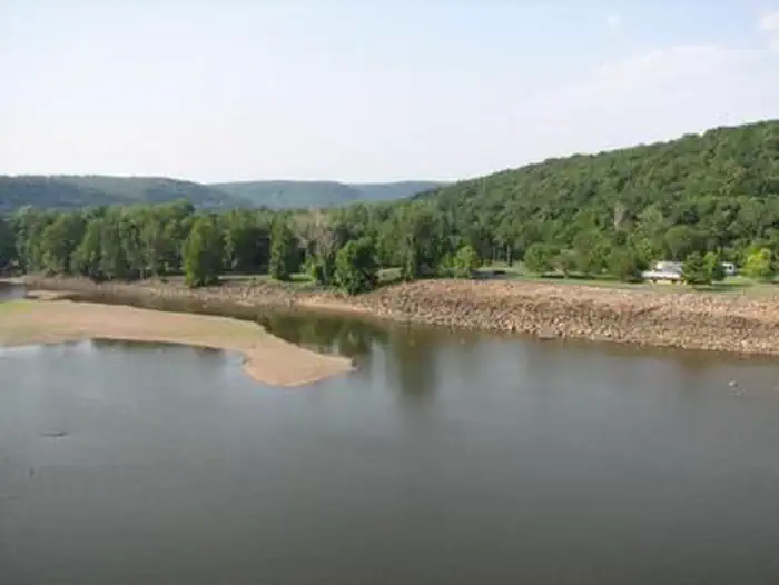
Dam Site (Fort Gibson Lake)
No lengths published for any site here
- Longest for your rig
- —
- Booking
- Reservable
- Hookups
- water
- Entry
- Back-in only
- ADA sites
- —
- Elevation
- 523 ft
- Vehicles
- up to 4
- Season
- Open year-round
Now a National Historical Landmark, the site is open to the public year round.
quoted from the description Recreation.gov publishes for this facility
Book on Recreation.gov →the official reservation system; we take no cut
Every bookable site
No site here takes a 42 ft rig. The layout, for what it is worth.
Length never published — 24 sites
1no length given14no length given23no length given24no length given25no length given26no length given27no length given28no length given3no length given30no length given31no length given34no length given35no length given36no length given37no length given38no length given39no length given4no length given40no length given43no length given5no length given6no length given7no length given9no length given
Within 60 miles
| Map marker# | Campground | Distance | Sites | Longest for your rig | Hookups |
|---|---|---|---|---|---|
| 1 | Wahoo Bay | 3 mi NW | 20 | 26 ft | none |
| 2 | Taylor Ferry | 5 mi NW | 89 | 45 ft | electric · pull-through |
| 3 | Tullahasse Loop | 12 mi W | 15 | — | none |
| 4 | Rocky Point (Ft Gibson) | 13 mi NW | 61 | 97 ft | electric · pull-through |
| 5 | Flat Rock Creek | 13 mi NW | 31 | 38 ft | electric · pull-through |
| 6 | Blue Bill Point | 13 mi NW | 40 | 50 ft | electric · pull-through |
Everything else on record
- Bookable sites
- 24
- Non-site records excluded
- 2
- Max occupancy per site
- 8
- Reservable sites
- 24
- Coordinates
- 35.8678, -95.2336
- Nearest place
- FORT GIBSON
- Phone
- 918-682-4314
- Elevation
- 523 ft
Sources
- Recreation Information Database (RIDB) · fetched from
https://ridb.recreation.gov/api/v1/facilities/233480· retrieved 2026-08-17 · public-domain - USGS Elevation Point Query Service · fetched from
https://epqs.nationalmap.gov/v1/json· retrieved 2026-08-17 · public-domain