FS · Helena-Lewis and Clark National Forest
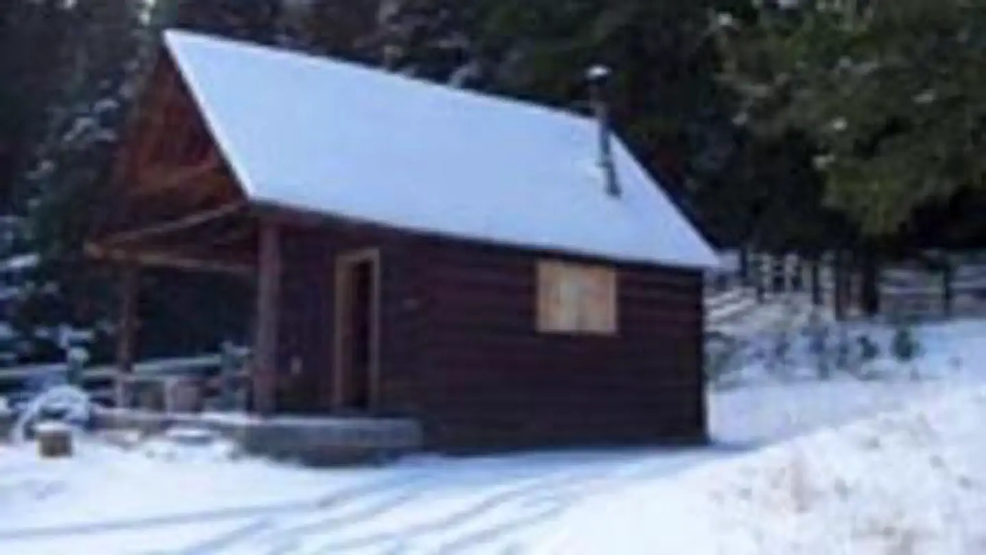
Indian Flats Cabin
No lengths published for any site here
- Longest for your rig
- —
- Booking
- Reservable
- Hookups
- none
- Entry
- Back-in only
- ADA sites
- —
- Elevation
- 6,520 ft
- Vehicles
- up to 2
Book on Recreation.gov →the official reservation system; we take no cut
Getting there
What the agency says about the road in. For a long rig this is often the binding constraint — a site that fits is no use behind four miles of shelf road — and none of it appears in the campsite data.
- Steep grades or switchbacks
Stay on the main road up Beaver Creek, through a series of switchbacks up Burnt Gulch, past Pikes Gulch Campground to the junction of Hogback Lookout and Indian Flats Roads.
quoted from the driving directions
Every bookable site
Length never published — 1 site
Within 60 miles
| Map marker# | Campground | Distance | Sites | Longest for your rig | Hookups |
|---|---|---|---|---|---|
| 1 | Bar Gulch Cabin | 9 mi S | 1 | — | none |
| 2 | Devil's Elbow Campground | 10 mi SW | 43 | 60 ft | none |
| 3 | White Sandy Campground | 11 mi SW | 26 | 60 ft | electric |
| 4 | Court Sheriff Campground | 11 mi S | 47 | 50 ft | none · pull-through |
| 5 | Chinamen's Campground | 12 mi S | 37 | 47 ft | none |
| 6 | Riverside Campground | 12 mi S | 28 | — | none · pull-through |
Everything else on record
- Bookable sites
- 1
- Max occupancy per site
- 4
- Reservable sites
- 1
- Coordinates
- 46.8222, -111.6794
- Nearest place
- HELENA
- Phone
- 406-449-5201
- Elevation
- 6,520 ft
Sources
- Recreation Information Database (RIDB) · fetched from
https://ridb.recreation.gov/api/v1/facilities/234451· retrieved 2026-08-11 · public-domain - USGS Elevation Point Query Service · fetched from
https://epqs.nationalmap.gov/v1/json· retrieved 2026-08-11 · public-domain