FS · Rio Grande National Forest
Thirty Mile
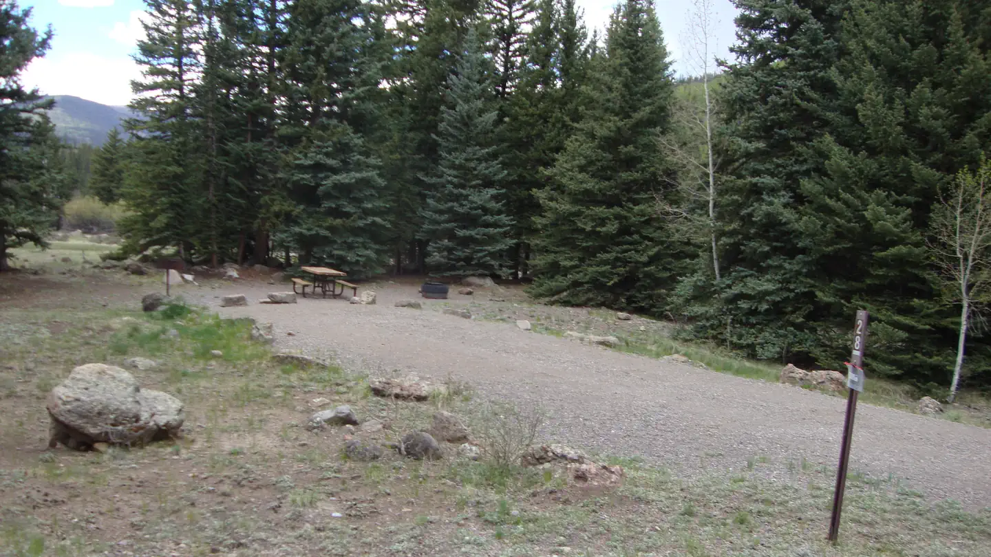
31 of 35 sites fit 30 ft
Book one of 007, 004, 012, 005, 009, 011 and 25 more
- Longest for your rig
- 90 ft
- Booking
- Reservable
- Hookups
- none
- Entry
- Pull-through
- ADA sites
- —
- Elevation
- 9,325 ft
- Vehicles
- up to 2
At 9,325 ft, expect nights below freezing well into June, water systems shut off outside a short summer window, and a long climb to get here. Nothing published says when it opens — call before you tow.
Book on Recreation.gov →the official reservation system; we take no cut
Getting there
What the agency says about the road in. For a long rig this is often the binding constraint — a site that fits is no use behind four miles of shelf road — and none of it appears in the campsite data.
- Unpaved approach
Continue on Highway 149 to mile marker 41, turn west (gravel road) on Rio Grande Reservoir Road and continue for 12 miles to Thirty Mile Campground.
quoted from the driving directions
Every bookable site
The 31 sites that take a 30 ft rig, drawn where they sit.
Fits your 30 ft rig — 31 sites
00790 ft limit · pull · gravel · 1 vehicle00486 ft limit · pull · gravel · 1 vehicle01280 ft limit · pull · gravel · 2 vehicles00560 ft limit · pull · gravel · 1 vehicle00960 ft limit · pull · gravel · 1 vehicle01160 ft limit · pull · gravel · 1 vehicle01460 ft limit · back · gravel · 1 vehicle01960 ft limit · back · gravel · 1 vehicle02859 ft limit · back · gravel · 1 vehicle00250 ft limit · back · gravel · 1 vehicle00350 ft limit · back · gravel · 1 vehicle01350 ft limit · back · gravel · 1 vehicle02150 ft limit · pull · gravel · 2 vehicles03050 ft limit · back · gravel · 1 vehicle00145 ft limit · back · gravel · 1 vehicle01045 ft limit · back · gravel · 1 vehicle02345 ft limit · back · gravel · 1 vehicle03245 ft limit · pull · gravel · 1 vehicle00840 ft limit · back · gravel · 1 vehicle01640 ft limit · back · gravel · 1 vehicle01740 ft limit · back · gravel · 1 vehicle01840 ft limit · pull · gravel · 1 vehicle02040 ft limit · back · gravel · 1 vehicle02240 ft limit · back · gravel · 1 vehicle02740 ft limit · pull · gravel · 1 vehicle02940 ft limit · pull · gravel · 1 vehicle02635 ft limit · back · gravel · 1 vehicle00634 ft limit · back · gravel · 1 vehicle02430 ft limit · back · gravel · 1 vehicle03430 ft limit · back · gravel · 1 vehicle03530 ft limit · back · gravel · 1 vehicle
Too short for 30 ft — 2 sites
Length never published — 2 sites
Within 60 miles
| Map marker# | Campground | Distance | Sites | Longest for your rig | Hookups |
|---|---|---|---|---|---|
| 1 | River Hill | 1 mi E | 18 | 80 ft | none · pull-through |
| 2 | Palisades Horse Camp | 13 mi S | 12 | 45 ft | none · pull-through |
| 3 | Cimarrona (CO) | 13 mi S | 21 | — | none |
| 4 | Williams Creek (CO) | 14 mi N | 1 | — | none |
| 5 | Mill Creek Campground (CO) | 15 mi NW | 31 | 50 ft | none |
| 6 | Teal | 15 mi S | 16 | — | none |
Everything else on record
- Bookable sites
- 35
- Max occupancy per site
- 16
- Reservable sites
- 28
- Coordinates
- 37.7233, -107.2575
- Nearest place
- CREEDE
- Phone
- 719-658-0829
- Elevation
- 9,325 ft
Sources
- Recreation Information Database (RIDB) · fetched from
https://ridb.recreation.gov/api/v1/facilities/232338· retrieved 2026-08-11 · public-domain - USGS Elevation Point Query Service · fetched from
https://epqs.nationalmap.gov/v1/json· retrieved 2026-08-11 · public-domain