FS · Arapaho & Roosevelt National Forests Pawnee NG
Pickle Gulch
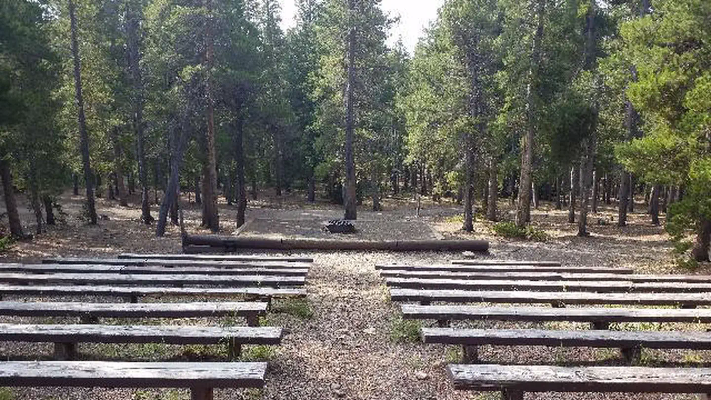
No lengths published for any site here
- Longest for your rig
- —
- Booking
- Reservable
- Hookups
- none
- Entry
- Back-in only
- ADA sites
- —
- Elevation
- 9,093 ft
- Vehicles
- up to 6
At 9,093 ft, expect nights below freezing well into June, water systems shut off outside a short summer window, and a long climb to get here. Nothing published says when it opens — call before you tow.
Book on Recreation.gov →the official reservation system; we take no cut
Every bookable site
Within 60 miles
| Map marker# | Campground | Distance | Sites | Longest for your rig | Hookups |
|---|---|---|---|---|---|
| 1 | Cold Springs - Arapaho Roosevelt NF (CO) | 2 mi E | 40 | 45 ft | none · pull-through |
| 2 | Columbine Campground | 3 mi SW | 46 | 55 ft | none |
| 3 | Kelly Dahl | 6 mi N | 25 | 40 ft | none |
| 4 | Mestaa’ėhehe Mountain Fire Lookout | 11 mi S | 1 | — | none |
| 5 | Midland Group Campground | 12 mi W | 1 | — | none |
| 6 | West Chicago Creek | 13 mi SW | 14 | 40 ft | none |
Everything else on record
- Bookable sites
- 6
- Non-site records excluded
- 1
- Max occupancy per site
- 30
- Reservable sites
- 6
- Coordinates
- 39.8432, -105.5226
- Nearest place
- Morrison
- Phone
- 801-226-3564
- Elevation
- 9,093 ft
Sources
- Recreation Information Database (RIDB) · fetched from
https://ridb.recreation.gov/api/v1/facilities/231858· retrieved 2026-08-17 · public-domain - USGS Elevation Point Query Service · fetched from
https://epqs.nationalmap.gov/v1/json· retrieved 2026-08-17 · public-domain