BLM · Bureau of Land Management
Mill Creek Campground (CO)
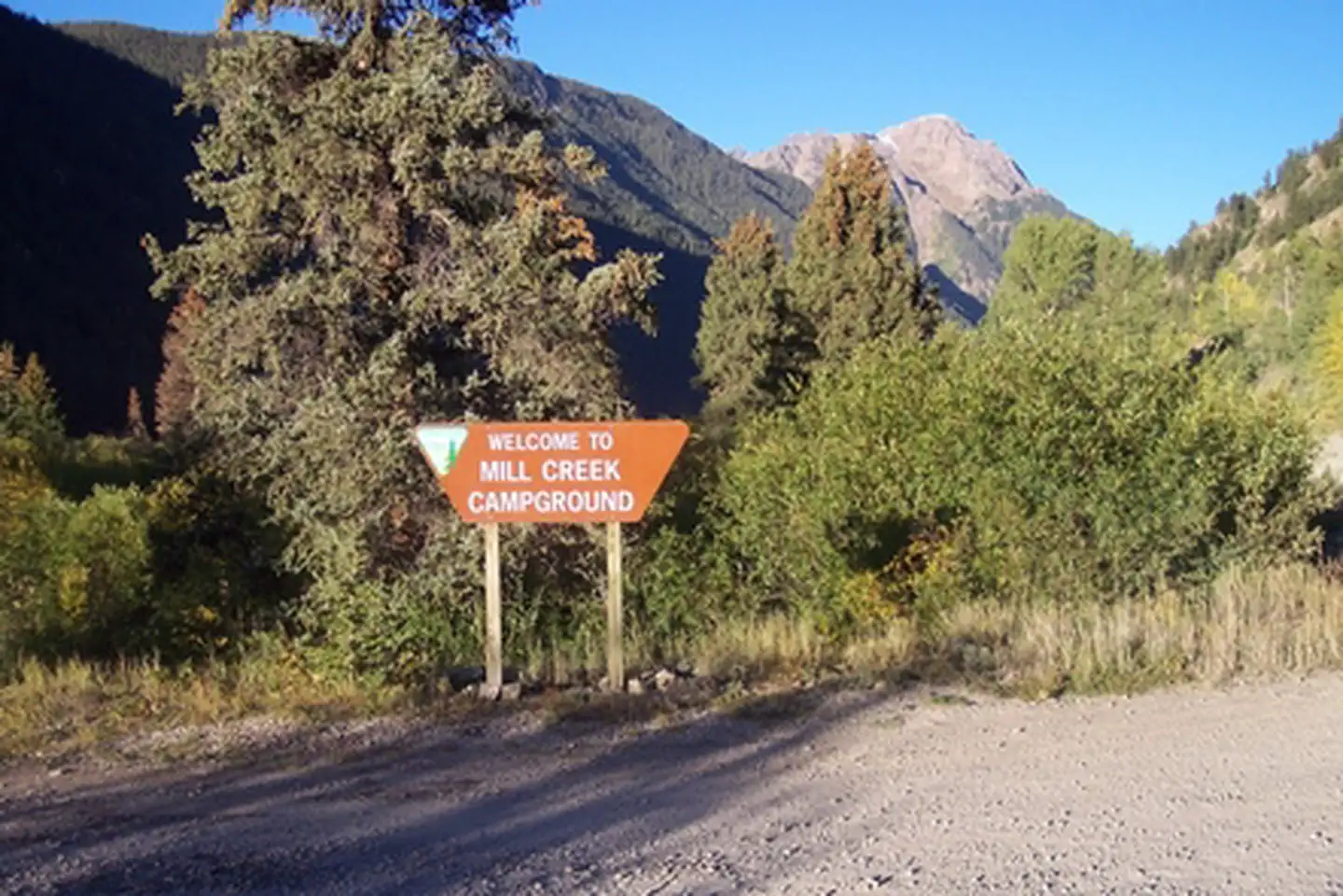
20 of 31 sites fit 25 ft
Book one of 1, 12, 17, 10, 22, 18 and 14 more
- Longest for your rig
- 50 ft
- Booking
- Reservable
- Hookups
- none
- Entry
- Back-in only
- ADA sites
- —
- Elevation
- 9,454 ft
- Vehicles
- up to 2
At 9,454 ft, expect nights below freezing well into June, water systems shut off outside a short summer window, and a long climb to get here. Nothing published says when it opens — call before you tow.
Book on Recreation.gov →the official reservation system; we take no cut
Getting there
What the agency says about the road in. For a long rig this is often the binding constraint — a site that fits is no use behind four miles of shelf road — and none of it appears in the campsite data.
- High clearance or 4WD advised
From the campground, licensed OHV's and high clearance 4-wheel-drive vehicles can access the legendary Alpine Loop Backcountry Byway; a rugged 65 mile road system that connects the towns of Lake City, Silverton, and Ouray through the spectacular mountain scenery of the San Juan Mountains.
quoted from the description
Every bookable site
Fits your 25 ft rig — 20 sites
150 ft vehicle · gravel · 2 vehicles1248 ft vehicle · gravel · 2 vehicles1745 ft vehicle · gravel · 2 vehicles1043 ft vehicle · gravel · 2 vehicles2243 ft vehicle · gravel · 2 vehicles1841 ft vehicle · gravel · 2 vehicles1440 ft vehicle · gravel · 2 vehicles839 ft vehicle · gravel · 2 vehicles937 ft vehicle · gravel · 2 vehicles536 ft vehicle · gravel · 2 vehicles1335 ft vehicle · gravel · 2 vehicles1635 ft vehicle · gravel · 2 vehicles434 ft vehicle · gravel · 2 vehicles333 ft vehicle · gravel · 2 vehicles1131 ft vehicle · gravel · 2 vehicles729 ft vehicle · gravel · 2 vehicles2028 ft vehicle · gravel · 2 vehicles2128 ft vehicle · gravel · 2 vehicles1526 ft vehicle · gravel · 2 vehicles225 ft vehicle · gravel · 2 vehicles
Too short for 25 ft — 2 sites
Tents only — no rig permitted here — 9 sites
23no rigs permitted · back · gravel · 1 vehicle24no rigs permitted · back · gravel · 1 vehicle25no rigs permitted · back · gravel · 1 vehicle26no rigs permitted · back · gravel · 1 vehicle27no rigs permitted · back · gravel · 1 vehicle28no rigs permitted · back · gravel · 1 vehicle29no rigs permitted · back · gravel · 1 vehicle30no rigs permitted · back · gravel · 1 vehicle31no rigs permitted · back · gravel · 1 vehicle
Within 60 miles
| Map marker# | Campground | Distance | Sites | Longest for your rig | Hookups |
|---|---|---|---|---|---|
| 1 | Williams Creek (CO) | 3 mi E | 1 | — | none |
| 2 | Deer Lakes (CO) | 14 mi NE | 1 | — | none |
| 3 | Thirty Mile | 15 mi SE | 35 | 90 ft | none · pull-through |
| 4 | River Hill | 15 mi SE | 18 | 80 ft | none · pull-through |
| 5 | Amphitheater (CO) | 17 mi NW | 35 | 35 ft | none · pull-through |
| 6 | South Mineral | 22 mi W | 1 | — | none |
Everything else on record
- Bookable sites
- 31
- Longest driveway
- 52 ft
- Max occupancy per site
- 8
- Reservable sites
- 14
- Coordinates
- 37.9073, -107.3928
- Phone
- (970) 642-4953
- Elevation
- 9,454 ft
Sources
- Recreation Information Database (RIDB) · fetched from
https://ridb.recreation.gov/api/v1/facilities/271727· retrieved 2026-08-17 · public-domain - USGS Elevation Point Query Service · fetched from
https://epqs.nationalmap.gov/v1/json· retrieved 2026-08-17 · public-domain