FS · Inyo National Forest
Pumice Flat Group Camp
2 of 4 sites fit 38 ft
Book 001, 004
- Longest for your rig
- 40 ft
- Booking
- Reservable
- Hookups
- none
- Entry
- Back-in only
- ADA sites
- —
- Elevation
- 7,663 ft
- Vehicles
- up to 10
Book on Recreation.gov →the official reservation system; we take no cut
Getting there
What the agency says about the road in. For a long rig this is often the binding constraint — a site that fits is no use behind four miles of shelf road — and none of it appears in the campsite data.
- Narrow or single-lane road
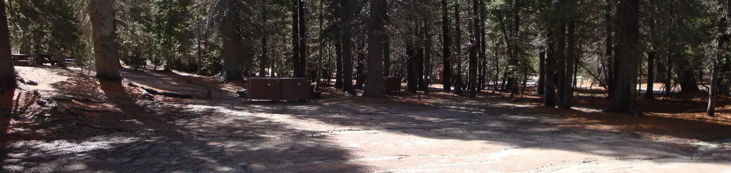
The road to the facility is narrow, single-lane and only accessible in summer.Natural Features The campground sits in a lodgepole pine forest surrounded by high mountain peaks and adjacent to two creeks.
quoted from the description
Every bookable site
The 2 sites that take a 38 ft rig, drawn where they sit.
Fits your 38 ft rig — 2 sites
Too short for 38 ft — 2 sites
Within 60 miles
| Map marker# | Campground | Distance | Sites | Longest for your rig | Hookups |
|---|---|---|---|---|---|
| 1 | Agnew Horse Camp | 3 mi N | 4 | — | none · pull-through |
| 2 | Agnew Meadows Group Camp | 3 mi N | 4 | 30 ft | none |
| 3 | Twin Lakes Campground | 4 mi SE | 93 | 55 ft | none · pull-through |
| 4 | Lake Mary Campground | 5 mi SE | 48 | 21 ft | none |
| 5 | Coldwater Campground - Inyo NF (CA) | 5 mi SE | 74 | 43 ft | none |
| 6 | New Shady Rest Campground | 6 mi E | 90 | 38 ft | none |
Everything else on record
- Bookable sites
- 4
- Longest driveway
- 40 ft
- Max occupancy per site
- 50
- Reservable sites
- 4
- Coordinates
- 37.6457, -119.0741
- Elevation
- 7,663 ft
Sources
- Recreation Information Database (RIDB) · fetched from
https://ridb.recreation.gov/api/v1/facilities/231957· retrieved 2026-08-11 · public-domain - USGS Elevation Point Query Service · fetched from
https://epqs.nationalmap.gov/v1/json· retrieved 2026-08-11 · public-domain