FS · Apache-Sitgreaves National Forest
Luna Lake
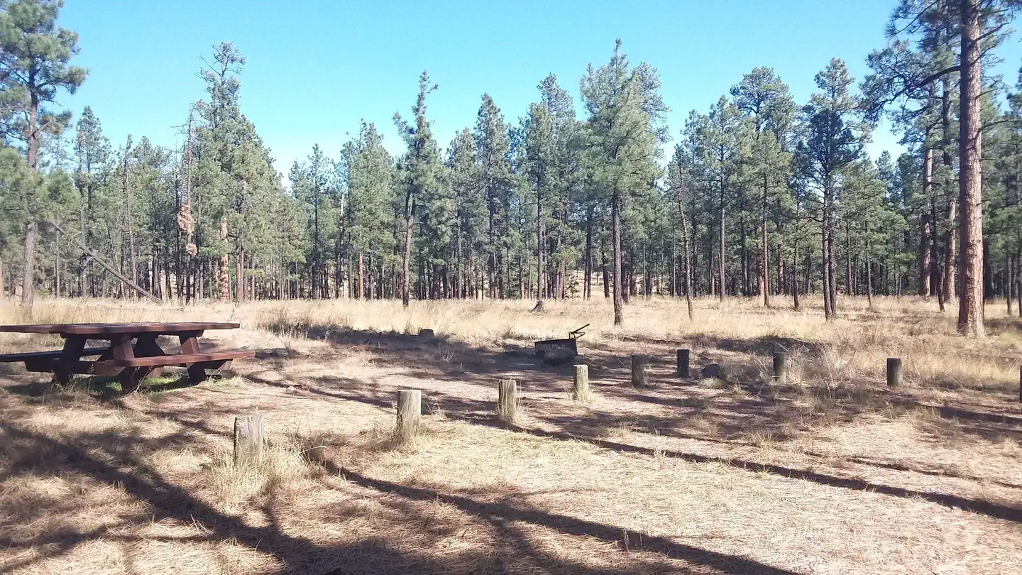
24 of 32 sites fit 32 ft
Book one of 028, 029, Group Site A, Group Site B, Group Site C, 019 and 18 more
- Longest for your rig
- 99 ft
- Booking
- Reservable
- Hookups
- water
- Entry
- Pull-through
- ADA sites
- —
- Elevation
- 7,969 ft
- Vehicles
- up to 30
Book on Recreation.gov →the official reservation system; we take no cut
Getting there
What the agency says about the road in. For a long rig this is often the binding constraint — a site that fits is no use behind four miles of shelf road — and none of it appears in the campsite data.
- Unpaved approach
Follow the gravel road one mile to the campground.
quoted from the driving directions
Every bookable site
The 24 sites that take a 32 ft rig, drawn where they sit.
Fits your 32 ft rig — 24 sites
02899 ft limit · pull · gravel · 16 ft wide · 1 vehicle02999 ft limit · pull · gravel · 16 ft wide · 1 vehicleGroup Site 99 ft limit · back · gravel · 30 vehiclesGroup Site 99 ft limit · back · gravel · 14 vehiclesGroup Site 99 ft limit · back · gravel · 10 vehicles01998 ft limit · pull · gravel · 16 ft wide · 1 vehicle01890 ft limit · pull · gravel · 16 ft wide · 1 vehicle01289 ft limit · pull · gravel · 16 ft wide · 1 vehicle00580 ft limit · pull · gravel · 16 ft wide · 1 vehicle02275 ft limit · back · gravel · 16 ft wide · 1 vehicle001370 ft limit · pull · gravel · 16 ft wide · 1 vehicle00469 ft limit · pull · gravel · 16 ft wide · 1 vehicle02068 ft limit · back · gravel · 16 ft wide · 1 vehicle00652 ft limit · back · gravel · 16 ft wide · 1 vehicle01749 ft limit · back · gravel · 20 ft wide · 1 vehicle01048 ft limit · back · gravel · 16 ft wide · 1 vehicle01145 ft limit · back · gravel · 16 ft wide · 1 vehicle02745 ft limit · back · gravel · 16 ft wide · 1 vehicle03945 ft limit · back · gravel · 16 ft wide · 1 vehicle04045 ft limit · back · gravel · 16 ft wide · 1 vehicle01542 ft limit · back · gravel · 16 ft wide · 1 vehicle02140 ft limit · pull · gravel · 16 ft wide · 1 vehicle03440 ft limit · back · gravel · 16 ft wide · 1 vehicle02335 ft limit · back · gravel · 16 ft wide · 1 vehicle
Too short for 32 ft — 1 site
Length never published — 7 sites
002no length given · pull · gravel · 16 ft wide · 1 vehicle003no length given · pull · gravel · 16 ft wide · 1 vehicle007no length given · pull · gravel · 16 ft wide · 1 vehicle008no length given · pull · gravel · 16 ft wide · 1 vehicle014no length given · pull · gravel · 16 ft wide · 1 vehicle016no length given · pull · gravel · 16 ft wide · 1 vehicle024no length given · pull · gravel · 16 ft wide · 1 vehicle
Within 60 miles
| Map marker# | Campground | Distance | Sites | Longest for your rig | Hookups |
|---|---|---|---|---|---|
| 1 | Caldwell Cabin | 18 mi W | 1 | 40 ft | none |
| 2 | Rainbow (AZ) | 19 mi W | 121 | 99 ft | none · pull-through |
| 3 | Grayling | 19 mi W | 21 | 45 ft | none · pull-through |
| 4 | Brookchar | 19 mi W | 12 | — | none |
| 5 | Apache Trout Campground | 19 mi W | 64 | 80 ft | electric |
| 6 | Cutthroat | 19 mi W | 18 | — | none |
Everything else on record
- Bookable sites
- 32
- Non-site records excluded
- 28
- Max occupancy per site
- 120
- Reservable sites
- 32
- Coordinates
- 33.8353, -109.0819
- Elevation
- 7,969 ft
Sources
- Recreation Information Database (RIDB) · fetched from
https://ridb.recreation.gov/api/v1/facilities/231884· retrieved 2026-08-11 · public-domain - USGS Elevation Point Query Service · fetched from
https://epqs.nationalmap.gov/v1/json· retrieved 2026-08-11 · public-domain